Oregon Vacation (10) Last Day

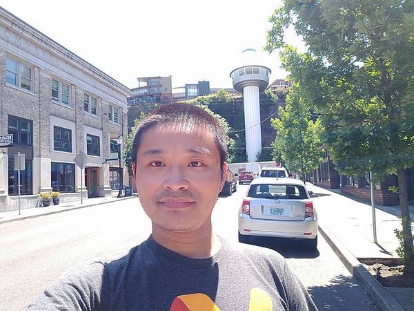
By the time I finished my Oregon City tour, I'm 22 miles from the Portland International Airport and I have 8 hours remaining before scheduled flight departure. There are still places worth visiting.

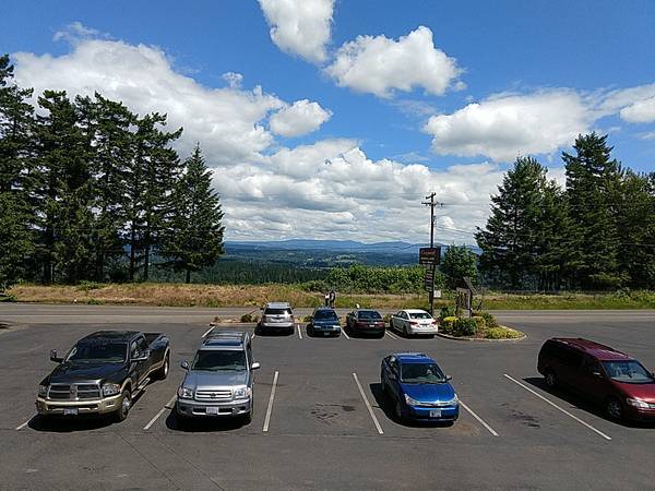
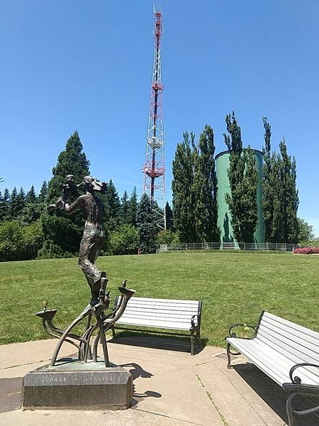
Portland's Highest Point

Council Crest Park is the highest point in Portland at 327-meter elevation. It is also the location of Portland's oldest geocache, hidden in February 2001.

rusty statue and signal tower atop Council Crest

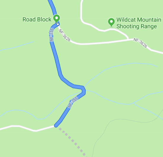
The park was easy to locate. The geocache, on the other hand, was difficult for me. Its location is specified as a vector offset from the hilltop, at "185 meters in the direction of 285° from magnetic north". I've seen "magnetic north" once and looked up some scientific references, but I don't know a practical way to convert magnetic north to true north that is accepted in mobile apps.

Oregon Vacation (9) Oregon City

Driving around the highways south of Milwaukie, I repeatedly saw an End of Oregon Trail sign. I vaguely remember having played a game called The Oregon Trail (paid link), but I don't know exactly what "Oregon Trail" is, so I looked it up. Oregon Trail is a 2170-mile wagon route between Independence, MO and Oregon City, OR, traveled by some of the earlier pioneers that settled in the west. Given its historic importance, after completing my geocaching mission, I decided to spend part of my last two days to visit Oregon City.

Elevator, Artwork, and Oddities

My evening tour of Oregon City was entirely guided by three geocaches:

selfie with Oregon City Municipal Elevator

Oregon Vacation (8) GC16 in Molalla River

My primary goal in Oregon is to find some of the world's oldest geocaches. I've found GC12, GC17, and the Original Stash tribute early on, but there's one more: GC16, hidden in June 2000. Wednesday, June 12, after a breakfast at Hitchin' Post, I started my quest into the BLM lands along Molalla River.

GC16

Just like other historical caches in Oregon, GC16 does not have parking coordinates in its listing. Once again, Google Maps tells me that I can drive straight to it. I know it can't be so easy, so I did my planning and identified two potential trailhead / parking locations:

  • Annie's Cabin trailhead, N 45°01.015 W 122°29.001, 3.0 km hike.
  • Hardy Creek trailhead, N 45°02.382 W 122°29.348, 2.3 km hike.

I looked over the "Old Oregon Coast Cache Access" document that I received at GEOregon event, and it suggests the first parking area. I'd better listen. It's a half-hour drive from Molalla on a wide, well-maintained road. I saw several logging trucks passing by, which explain the necessity of good roads.

Oregon Vacation (7) Breakfast and Laundry Solutions

Tuesday, June 11, I visited Portland via TriMet light rail, and came back to Milwaukie Station at 20:54, just before sunset. I walked to Milwaukie Bay Park, and watched sunset at Klein Point, the confluence of Willamette River and Johnson Creek.

sunset at Klein Point in Milwaukie Bay Park

I retrieved my rental car from the Park & Ride lot. Before driving back to motel, I need to take care of one more business: groceries.

Breakfast from Grocery Stores

Since I installed MyFitnessPal, I count my food in calories instead of dollars. When I travel, I choose high quality restaurants where I can have a nutritious and enjoyable meal. No matter where I go, I can usually find a good restaurant for lunch or dinner.

Oregon Vacation (6) Portland

Tuesday, June 11 is the fourth full day of my Oregon vacation. Having accomplished most of my geocaching goals, it's time to be a tourist. Primary goal for the day is Portland, the largest city in Oregon.

A Day Pass

I have a rental car during this vacation, but experience tells me that driving in a large city like Portland would not be an enjoyable experience. There's traffic, and parking is difficult. Therefore, I opted for public transportation.

One of my strengths is being able to quickly figure out how transit works in any city. I successfully used Boston subway, Denver commuter train, Las Vegas Deuce, Flagstaff Mountain Line, San Francisco BART, San Diego trolley, Honolulu TheBus, and many other transit systems during my travels. Likewise, I familiarized myself with Portland's TriMet transit system through 15 minutes of online study, including its major routes and fare options.

TriMet is, in fact, one of the easiest transit system I've ever used. It offers both bus and light rail (tram) service. Routes and real time tracking are available through Google Maps and Transit app. Every fare box can accept mobile payments such as Android Pay, in addition to cash and "Hop Fastpass" smart cards. Day passes are offered, but you don't have to plan in advance: if you paid enough single trip fares in one day, your ticket is automatically upgraded to a day pass.

Oregon Vacation (5) Eight Waterfalls, Two Beaches, and a Webcam

I arrived in Oregon for a 7-day vacation, without a specific day-to-day trip plan. I travel alone, have a rental car, and live in a "central" location, so that I can have the flexibility to spontaneously decide where to go next. I'm obsessed with geocaching and interested in museums, but I don't want to spend all my time on these. I need to discover something new.

Planning for Multnomah Falls

Every motel has a shelf of tourist information booklets. When I was checking in on Jun 07 evening, I browsed that shelf, and grabbed a few maps. I asked the front desk lady for recommendation, and she mentioned Multnomah Falls. Photos from the booklet and online search are gorgeous. I have to see Multnomah Falls during this trip!

Official website tells me that parking is very difficult on weekends between 11:00 and 16:00. Therefore, I planned the visit on Monday Jun 10, and I would depart early so that I'm parked well before 11:00.

The Q&A section of Google Places reveals a potential problem:

Oregon Vacation (4) Hillsboro and Outlets

Jun 08 afternoon, I visited the birthplace of geocaching near Estacada, Oregon. My dinner is scheduled at Copper River Restaurant & Bar in Hillsboro, where I can attend a geocaching event.

GEO June 2019 Meet & Greet

Geocaching is generally a solo sport, except when I run into other geocachers on the trail. However, the "event cache" is an opportunity for geocachers to meet other participants of the sport. When I was planning my Oregon trip, I kept searching the event listing every week, until a suitable event showed up: Geocachers Exploring Oregon (GEO), Oregon's geocaching community, has a meet & greet on Saturday evening. Therefore, I planned my dinner to be at this event.

After spending too much time on the Un-Original, I drove 79 minutes to the event venue. Copper River is a large restaurant with more than 100 seats, and GEO is the largest group in the restaurant. I arrived at 18:02, just as the "official program" was starting and a president-level figure picked up a loud speaker to make announcements. I received a blue raffle ticket, and later won a geocoin.

I found a seat in the middle of a 30-person long table, and introduced myself as yoursunny to people around me. longtrails, who's seated to my left, remembers my name because I signed his challenge cache this morning. We chatted, and he offered me a document of driving directions to some of Oregon's historical caches.

Oregon Vacation (3) Birthplace of Geocaching

Jun 08 morning, I found GC12 and GC17, two oldest geocaches in Mt Hood National Forest, Oregon. I returned to GC17 trailhead at 12:19. It has been five hours from when I left the motel, I have chewed two protein bars, so it's time for lunch. Google Maps says there's no restaurant in the middle of the forest, but there are some near my next destination. I entered the address into HERE WeGo, ate a third protein bar, and started driving.

Here we go again, HERE WeGo commanded me to "turn sharp left toward SE Brian Ranch Rd", a narrow, steep, and unsafe road through the ranches. I ignored this command, and continued on SE Wildcat Mountain Dr. An hour later, I arrived at View Point Restaurant & Lounge, Estacada, OR. I need a burger right now.

view of Clackamas River from View Point Restaurant

Original Stash Tribute Plaque

World's first geocache, then known as "GPS Stash", was published by Dave Ulmer on 03 May 2000:

Oregon Vacation (2) GC12 and GC17

On Jun 07, I flew to Portland, Oregon and started my 7-day vacation. Oregon is where the sport of geocaching got started, and my primary goal in Oregon is to find some of the world's oldest geocaches. Saturday Jun 08, the weather was less than perfect compared to next few days. However, I couldn't control my excitement and decided to nab the important geocaches first.

Planning for GC12

GC12, formerly known as GPS Stash #8, was hidden on 12 May 2000, nineteen years ago. It is Oregon's oldest active geocache, and as I later learned, the second oldest active geocache in the world.

When I was doing my initial trip planning, Google Maps says I could drive right to it. Upon closer inspection, oh well, I would have to drive over a "road block".

Google Maps route for GC12

Oregon Vacation (1) Planning and Departure

I had a 7-day vacation in northwestern Oregon in June 2019. This is the biggest solo road trip I've ever had so far.

Why Oregon?

Earlier this year, Alaska Airlines messed up my flight, and then I received a $200 voucher. The voucher entitles me to a free flight to west coast.

Alaska flies to five cities on the west coast:

  • Seattle, Washington
  • Portland, Oregon
  • San Francisco, California
  • Los Angeles, California
  • San Diego, California